Target audience: Everyone from 10 to 100 years old!
Duration : 3 hours
Date: to be announced
Previous dates:
- February 18, 2023

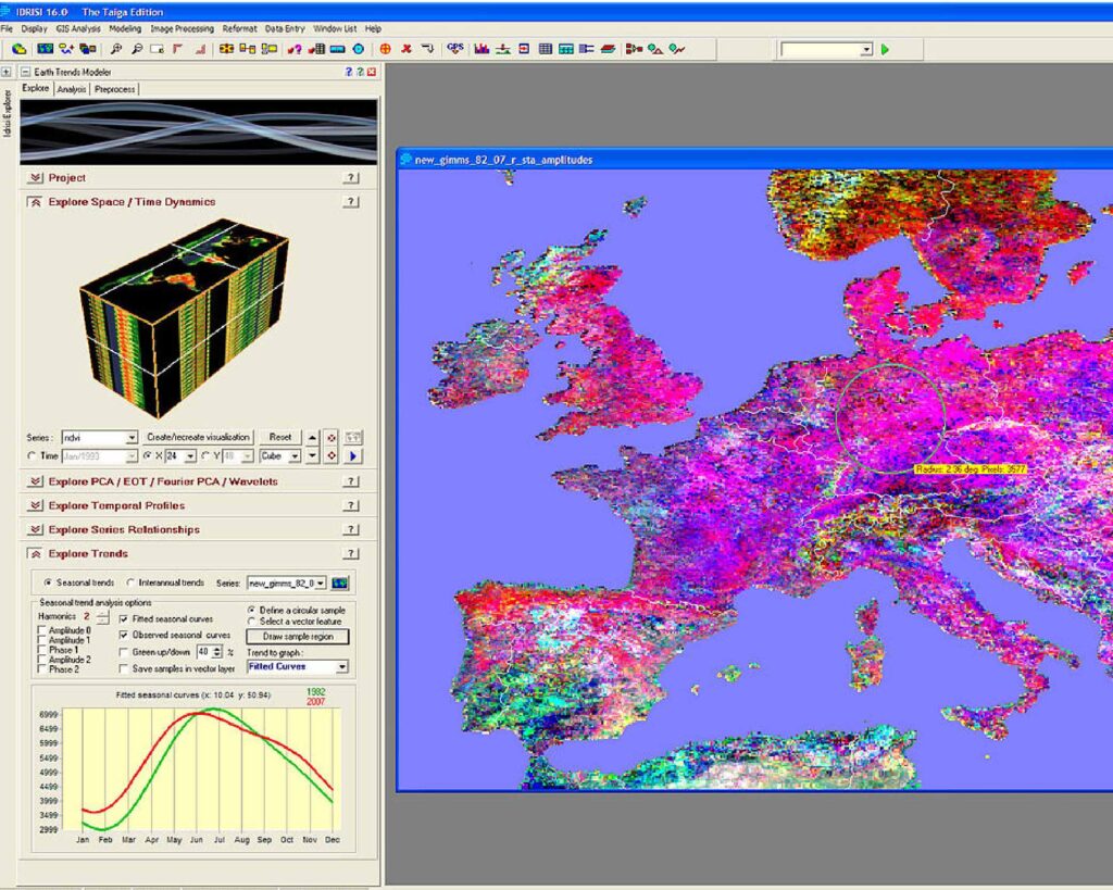
Explore details about your territory and analyze geographic information for different purposes, such as territorial management, statistical, administrative or transport data.
This workshop intends to train trainees with the technical and technological knowledge that will allow them to develop and implement a Geographic Information System. Theoretical-practical exercises will be carried out that enable trainees to explore, integrate, manage and analyze geographic information from different sources and formats.
Techniques for acquiring, processing and publishing geographic information are presented, giving examples of various thematic areas such as environmental planning, analysis of natural hazards, transport, agriculture, municipal management, and energy.
Topics to address
- Presentation of the GIS concept, associated scientific areas, and examples of application areas
- Introducing ESRI ArcGI technology
- Acquisition of alphanumeric and geographic data (vector and raster)
- Definition and transformation of geographic referencing system
- Edition of geographic information and geo-processing of vector and raster information
a. Editing vector data, visualizing information, manipulating tables, querying and analyzing alphanumeric data
b. Vector/matrix transformation
c. geo-processing operations - Georeferencing of images
- Design and Implementation of geographic databases (relational structure)
- Data transformation and export
- cartographic representations
